Конспект уроку
на тему
"Що ти
знаєш про Канаду?"
Тема: Що ти знаєш про Канаду?
Цілі:
освітня: розширити знання учнів про
англомовні країни;
практичні: вчити учнів давати географічну характеристику країни; здобувати
інформацію з різних джерел;
удосконалювати навички роботи над текстом; практикувати вживання the Present Perfect Tense in Passive Voice;
розвиваюча: розвивати вміння
працювати в парах, увагу, спостережливість;
виховна: виховувати інтерес
пізнання нового, цікавого;
Обладнання: підручник “Welcome to English Study” (8th form)
by O. Karpiuk, фізична карта Канади, контурні карти Кaнади, диск з гімном Канади,
роздатковий матеріал, зображення прапора, герба та визначних місць Канади.
Тип уроку (за Ніколаєвою): спрямований на розвиток мовленнєвих
умінь.
Хід уроку
Початок уроку
I. Організація класу. (2хв.)
II.Фонетична зарядка. (1хв.)
Teacher: Let`s
practice sound [ l ]
Look, listen, learn!
Teacher: Let
it be the motto of our lesson.
III. Повідомлення теми та завдань уроку. (2 хв.)
O Canada! (учні слухають
аудіозапис)
Our home and native land!
True patriot love
In all thy sons command.
With glowing hearts
We see thee rise.
The True North
Strong and free!
Teacher: You’ve
listened to the anthem of an
English-speaking country. You can see its flag and coat of arms here. Can you
guess what country we are going to speak about?
Expected answer:
S: About
Canada.
Teacher: Right
you are. At this lesson we’ll try to make a report in geography of Canada. We
have invited to our English lesson your geography teacher as an expert in
Geography. This lesson is unusual because you’ll get knowledge yourselves using
different sources of information.
Основна
частина уроку (35 хв.)
IV. Практика мовленнєвої діяльності.
a) Brainstorming
Teacher: We’ll start with revising our
knowledge in geography. What plan do we use to do the geographical outlook of
the country?
Students express
ideas in Ukrainian and English.
Expected result:
The geographical
outlook of the country.
Plan.
1.
Фізико-географічне положення/ Geographical position.
2.
Рельєф території/ Surface.
3.
Мінеральні ресурси/ Mineral resources.
4.
Клімат території/ Climate.
5.
Води/ Lakes and rivers.
6.
Населення/ Population.
7.
Господарство/ Economy.
b) Vocabulary revision
Teacher: I’d
recommend you to review some geographical terms and word-combinations.
Unscramble words.
to derbor on
to
be edshwa by
an eara
a lowndla
a tainmoun ragen a aticclim nezo
ctiarc
ticsubarc
petemrate
Key: to border on, to be washed by,
an area, a lowland, a mountain range, a climatic zone, arctic, subarctic,
temperate.
c) Introducing
new vocabulary
Teacher: Let’s
work with some proper names. Listen and repeat.
Canada the Mackenzie
North America Nelson
The Pacific ocean Yukon
The Atlantic ocean Rocky mountains
The Arctic ocean Great
Lakes
Ottawa Great Bear Lake
Toronto Niagara Falls
d) Group work
Teacher: Now
you are ready to get information about Canada. Split into 2 groups. You task is
to complete the chart “Some Facts about Canada” and to draw a contour map of
Canada.
Some Facts about Canada.
|
1.Geographical position
|
|
|
2. Area
|
|
|
3. Surface
|
|
|
4. Climate
|
|
|
5. Lakes and rivers.
|
|
|
6. Population
|
|
|
7. Language
|
|
|
8. Cities
|
|
|
9. Mineral resources
|
|
 10. Economy 10. Economy |
|

Teacher: The first group will search
for information about geographical position and the surface, another one will
work with points “Climate” and “Lakes and rivers”. Then you’ll share the
results of your research. The only available source of information for each group
is a map of Canada.
e) Reading
Teacher: Are
your contour maps ready?
Expected answer:
S: Yes,
they are.
Teacher: Is
your chart completed? No? Then let’s work with another source of information.
Pre-reading activity.
Teacher: Look
at the text and say what information you are going to find in it.
Possible answer:
S: We
are going to learn more about population, language, cities and economy of
Canada.
Teacher: Read
the text and find necessary information to complete your chart.
Canada
Canada is the largest country on the American
continent and the second largest country in the world. It has a population of
27 million on an area of 9,976,185 square kilometres! Most of the population
are descended from European immigrants. Only 1.5% of today's population are
descended from the original Eskimo and Indian inhabitants.
Britain
and France fought over Canada for nearly two hundred years. Finally in 1763
Britain took control. Canada is now an independent country with its own prime
minister, but the head of state is still the British Queen.
Canada is a bilingual country. The majority of the population speaks English. Most
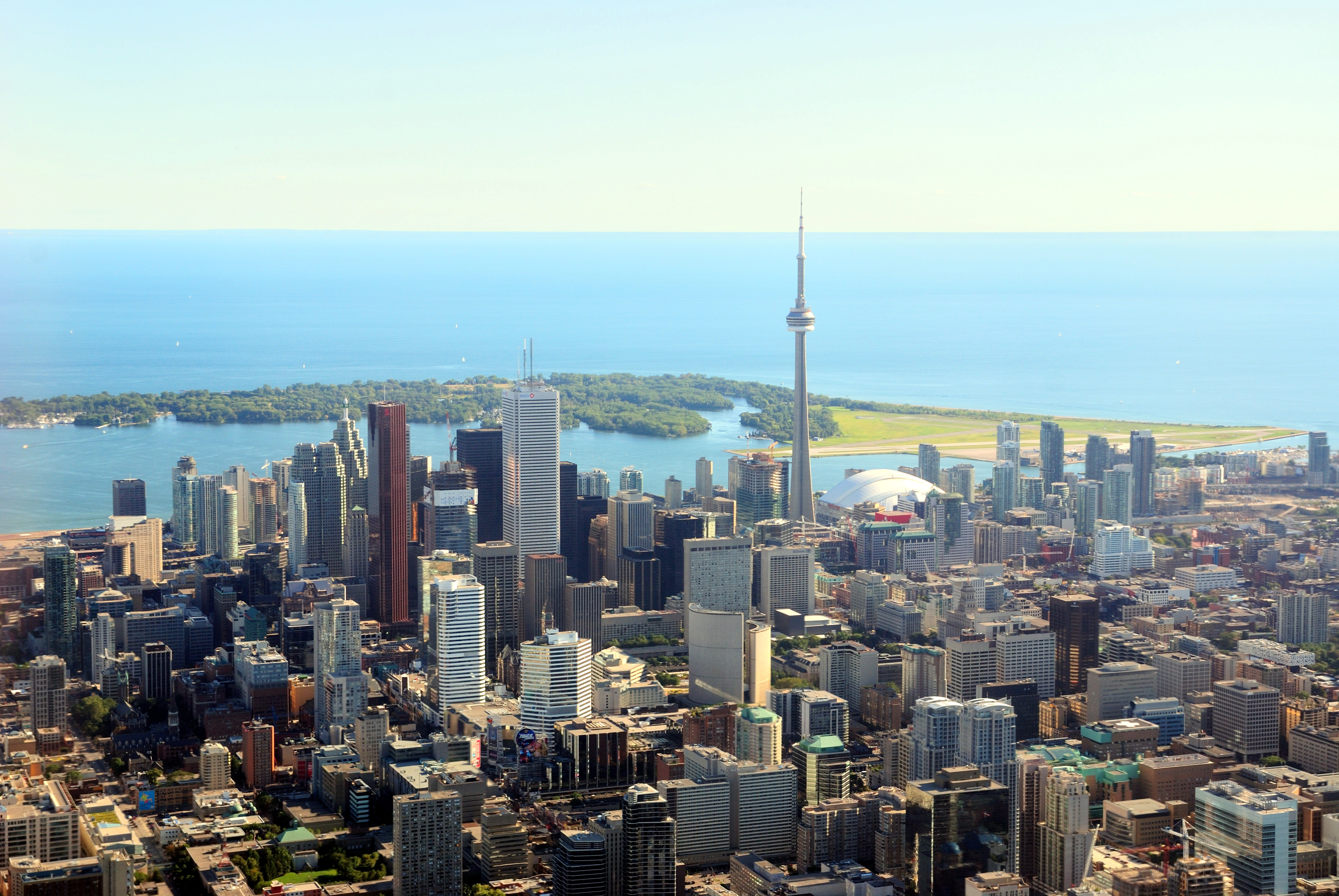
French speakers live in the province of Quebec. Canada's largest city is
Toronto. It has a population of 3,800,000. But Toronto is not the capital city.
The capital is Ottawa in the province of Ontario.
The national emblem of Canada is the maple leaf and
the currency is the Canadian dollar. Canada is a huge country. Its longest
river, the Mackenzie, flows for 1,600 km into the Arctic Ocean. It is also a
very rich country. It has many' industries (cars, electrical goods, etc.). It
produces almost every mineral (gold, silver, iron, copper, uranium, oil, coal,
etc.). Canada is the world's biggest producer of nickel, the second biggest
producer of zinc and the third biggest producer of lead. Canada is also one of
the world's biggest producers of wood and paper (44% of the land is forest).
Agriculture (mostly wheat and cattle) is important, too.
Post-reading
activity.
Teacher: Do we have a result? Prove it.
Tell what you know about Canada. Use your chart and a contour map.
f) Writing
Teacher: A lot of things have been done
at this lesson. Do you agree? Let’s speak about them using the Present Perfect
Passive. Make up sentences with these word-combinations.
1.
The text/ to read.
2.
The map of Canada/ to study.
3.
The chart/ to complete.
4.
The geographical position of Canada/ to describe.
5.
Different sources of information/ to use.
Key:
1. The text has been read.
2. The map of Canada has been studied.
3. The chart has been completed.
4. The
geographical position of Canada has been described.
5.
Different sources of information have been used.
g)
Pair work
Teacher: My congratulations! You are real
experts in geography of Canada. Besides you know how to get information using
different sources of it.
Your classmate got a task to
make a report about geographical position of the USA. He needs information.
Give him advice how to find it. Use the following models:
- You should …
- Why don’t you …?
- Let’s …
- What about …?
-
Заключна
частина уроку
V. Повідомлення домашнього завдання. (2 хв.)
Teacher: your Geography teacher would
like you to help her in preparing for the lesson on the topic “Canada”. So your
home task will be to make a geographic quiz “What Do You Know about Canada?”
VI. Підсумки уроку. (3 хв.)
Teacher: Let’s
make a conclusion. What have you
learnt to do at the lesson?
Now I Can …
|
|
read and listen about the geography in English.
|
|
|
search for information in different sources.
|
|
|
do a geographical outlook of Canada using a map and
a chart.
|
|
|
use the Present Perfect Tense in Passive Voice
|
Your marks are … Thanks a lot. The lesson is over.
Good bye. Have a nice day.
PHYSICAL MAP OF CANADA

CANADIAN FLAG AND COAT OF ARMS


Niagara Falls

Toronto
Немає коментарів:
Дописати коментар